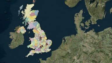
Created by Cheshire Wildlife Trust and hosted by The Wildlife Trusts, a Biodiversity Net Gain map is now available to show all current sites registered on the DEFRA Biodiversity Gain Site Register across England plotted against Local Planning Authorities and National Character Areas.
The BNG map provides a publicly accessible, spatial view of all off-site locations currently registered on the Biodiversity Gain Sites Register, as published by the Department for Environment, Food & Rural Affairs (DEFRA). Updated daily, the map will reflect the most recent entries and changes to the national register. Each site is displayed based on grid reference data provided by the register and includes: Site Reference Number, Baseline Habitat, Planned Habitat, Allocated Habitat and Habitat Condition.
The map also shows the locations of live habitat banks managed by the Wildlife Trusts. According to the Trust, there are sites from Berkshire, Buckinghamshire & Oxfordshire Wildlife Trust (BBOWT), The Wildlife Trust for Bedfordshire, Cambridgeshire, Northamptonshire and Derbyshire Wildlife Trust already live and selling BNG units to developers, with many more sites in development and ready to work with developers.
“This is a crucial step in driving transparency and supporting businesses and developers to meet their biodiversity commitments,” confirms the Wildlife Trust.